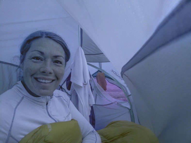
Thinking of a great way to spend a November weekend? How about hours spent lying in a bivvy bag (very possibly in wind, rain, sleet or snow) on a slippy hillside, soggy gully or dark forest, keeping still and hidden until the jingling of bells provides imminent warning that you are likely to get a foot in the face from a wet dog eager to receive their prize for finding you! Or following someone who has offered to show you their puppies! Sounds a tad mad? Or like your best idea of fun? Well that is a regular weekend for the awesome ‘Dogsbodies’ who voluntarily enjoy nothing more than donning the camo’ salopettes (not compulsory!) and burrowing into the bracken for Search Dog training sessions.
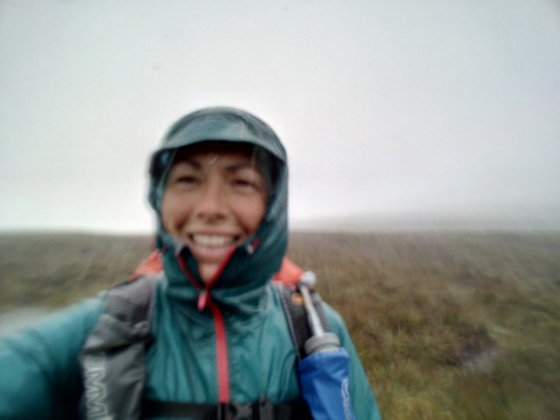
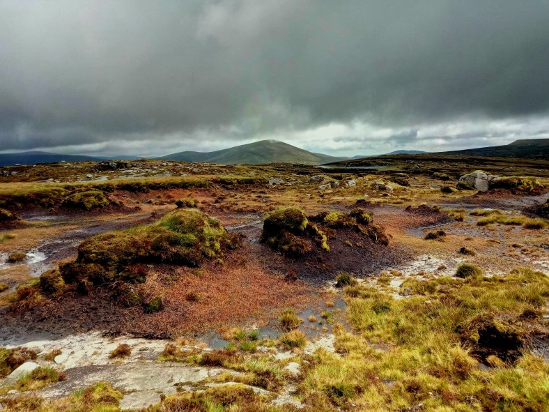
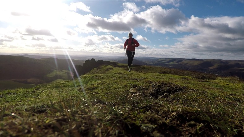
 The view from my Dogsbody high hide in the Brecon Beacons this weekend
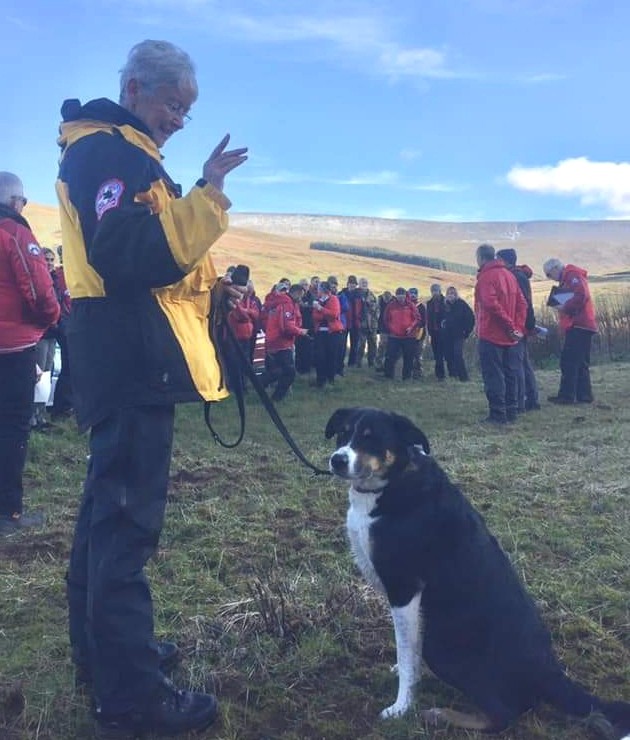
I have just spent a fantastic weekend in the Brecon Beacons where the Mountain Rescue Search Dogs England team joined up with the Search and Rescue Dog Association Wales for an intense weekend of training with dogs and handlers being put through their paces from early learning in puppy class to the anxious assessment ‘exams’ for those ready to qualify as Operational Search Dog teams.
 The new recruits soon grow into their roles
The weather generously provided practise conditions of almost every type often challenging for trainers, handlers and dogsbodies alike but the dogs, as always, take it completely in their stride and training is just all a brilliant game of winning their favourite toy.

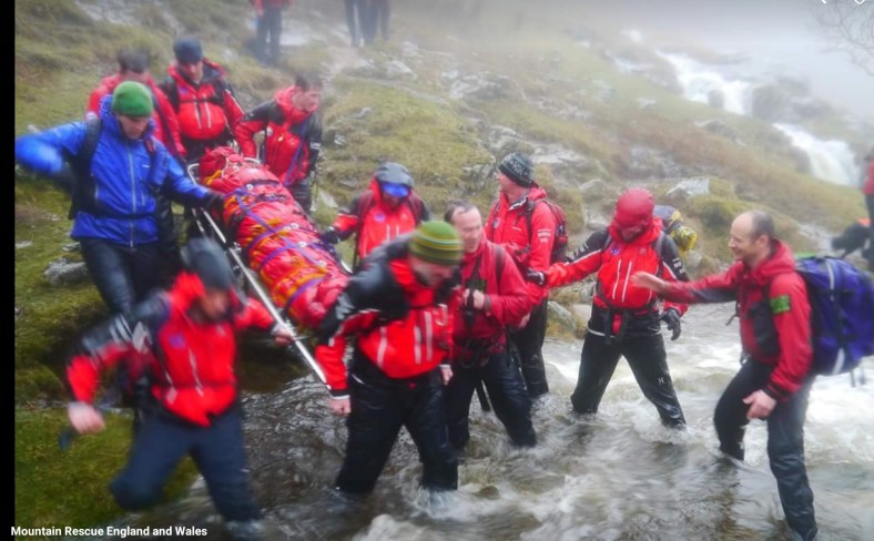
The Dogsbodies, affectionately known as ‘bodies’ provide an essential part in training, giving the dog teams a target to search for as the dogs follow ‘air scent’ to learn how to find people lost, missing or injured in the outdoors. The handlers role is to coordinate the search, working with their dog to cover huge search areas efficiently, assessing wind conditions and terrain to cover the ground in a way that maximises the dogs opportunity to pick up a scent quickly. It’s very much a team effort and the bond and relationship between dog and handler is all important, ultimately defining their success as a team.
 Always time for a spot of larking about – AKA all important team building!
But back to those ‘bodies’! Many volunteers are friends or partners of Mountain Rescue team members but others do it for ‘fun’ and the brilliant camaraderie amongst the teams make for a great social side too. On the quieter side, hiding in the hills and forests is also a great way to see wildlife and nature literally up close (and sometimes other, more bizarre goings on?!) in a way that you would not on a usual day in the hills. Wrapped up in a sleeping bag and cosy in your bivvy it’s a treat to just be still and soak in the scenery. At various intervals, of course, a dog will find you and then you get to play a few minutes of ‘catch’ , ‘fetch’ or ‘tug of war’ with a very excited dog. With dogs in earlier stages of training the body’s role can be much more interactive with considerable leaping up and down and running about required!
 The dogs goes bonkers for their favourite toys at the ‘reward’ playtime
The teams can never have too many ‘bodies’ so if you are over 18 and this sounds like a way you might enjoy spending a soggy Saturday morning google your local Mountain Rescue Team or Lowland Rescue Team to find Search Dog teams near you who’ll give you the scoop (not literally – that is not part of the job description!). There are no specific skills required – you don’t even need a particular proclivity to camouflage wear! – just competence in the outdoors and it’s definitely important to love dogs as you may be inflicted with plenty of spaniel trampling or collie kisses. A sense of humour is a good strength! If you can only join in occasionally that’s fine too. You’ll be contributing to mountain safety and the wonderful tradition of #MountainRescue we should all be very proud of. Click here for more info about getting involved.
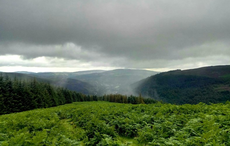
Training can be challenging and physical but all set in stunning locations

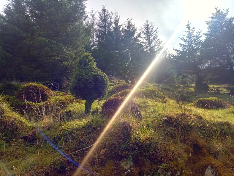
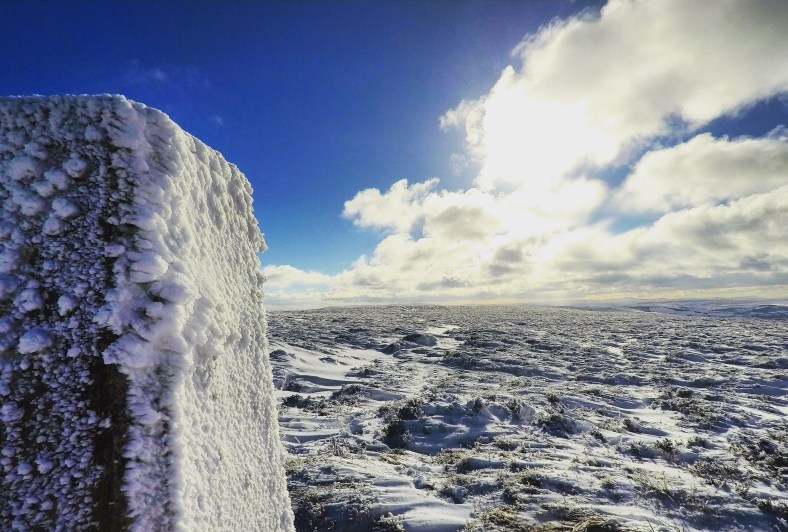
How often do you take the time to just lie down and watch the clouds go by?
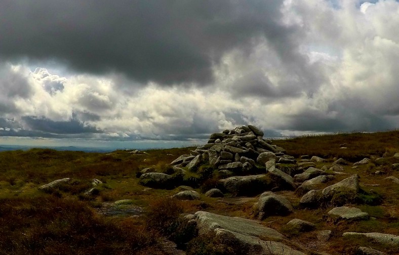
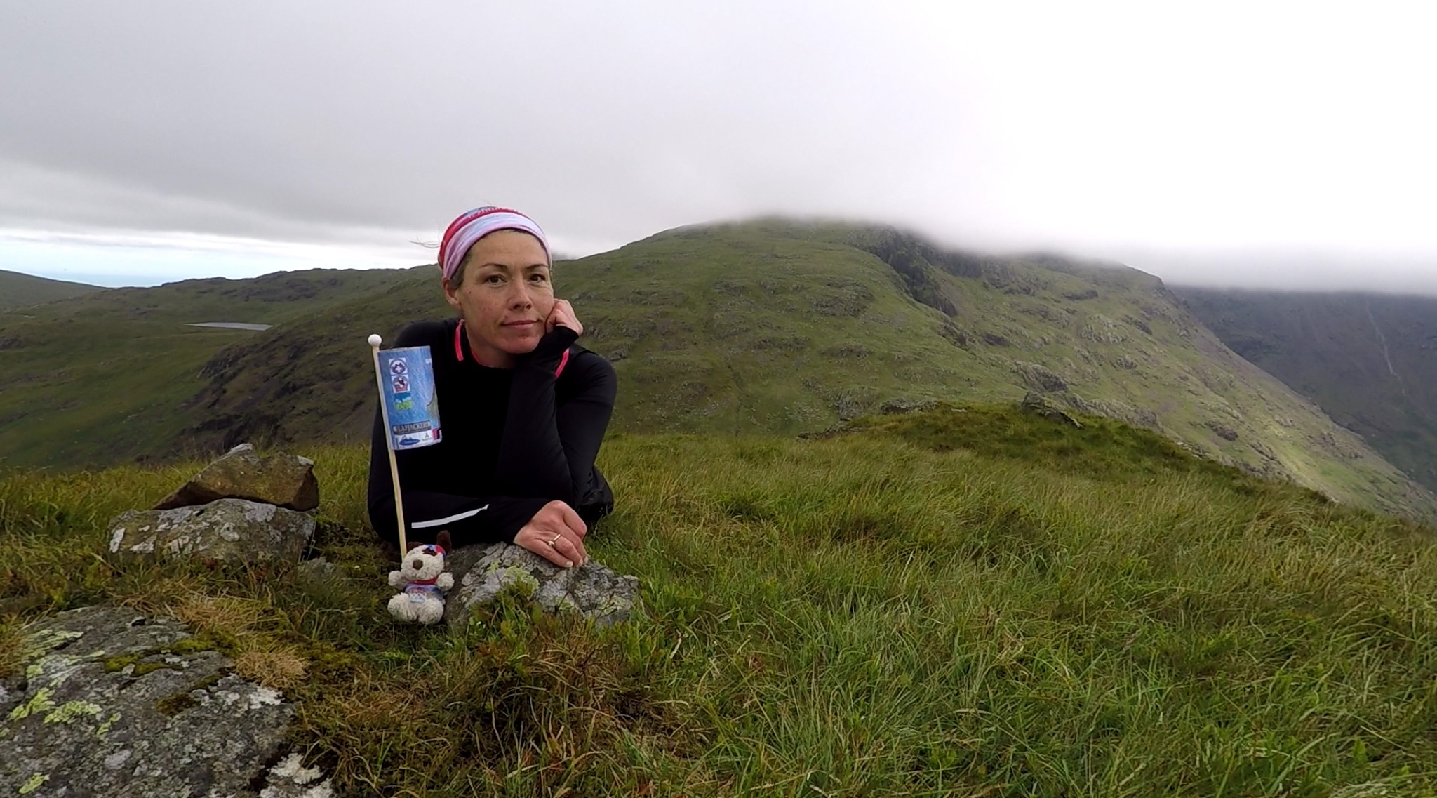
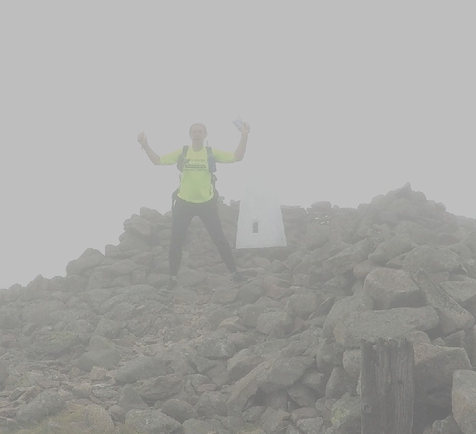
 Celebrating a successful weekend – Philippa and Search Dog George pass their assessments.
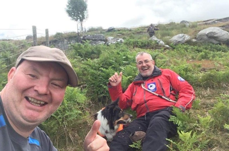
The dogs are all pets first and part of their handlers family. One of the wonderful things about being a dogsbody is seeing them progress from their first ‘sit-stay’ as adorable pups to qualification day as a confident, reliable team being placed on the Operational list ready for potentially life-saving call out duty. This weekend saw handler Philippa Lewis and Search Dog George of SARDA South Wales pass their assessment to Operational grade and handler Tony High of Teesdale and Weardale Search and Mountain Rescue Team and Search Dog Chief complete the journey to qualify to Operational grade. Chief and Tony are strong characters with an equally strong bond and are sure to be a very successful team as the real work now begins.
 Congrats to Tony High and Search Dog Chief passing their assessments this weekend to become an Operational Search Dog team.
It’s a real privilege for me to join in with these training meets and it also reminds me why I am fundraising for these dedicated and committed individuals and their teams. Mountain Rescue members already give so much of their lives voluntarily to provide a safer environment in the outdoors for all of us and really do save lives in many environments and scenarios as well as providing regular and invaluable assistance to the emergency services.
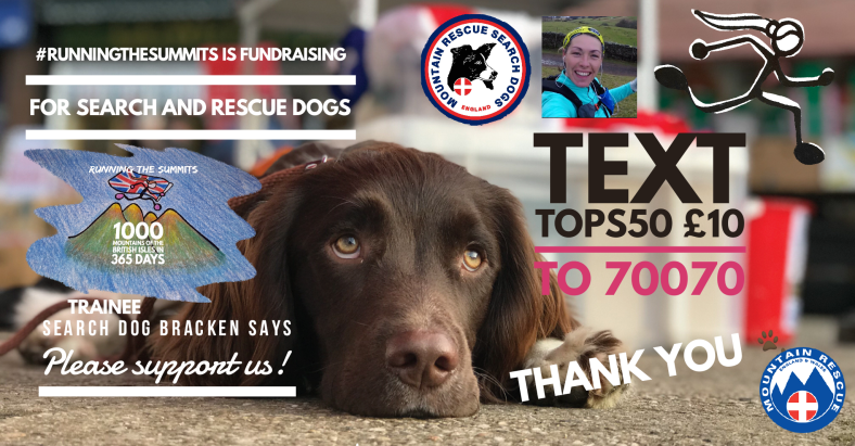
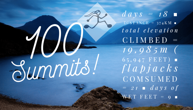
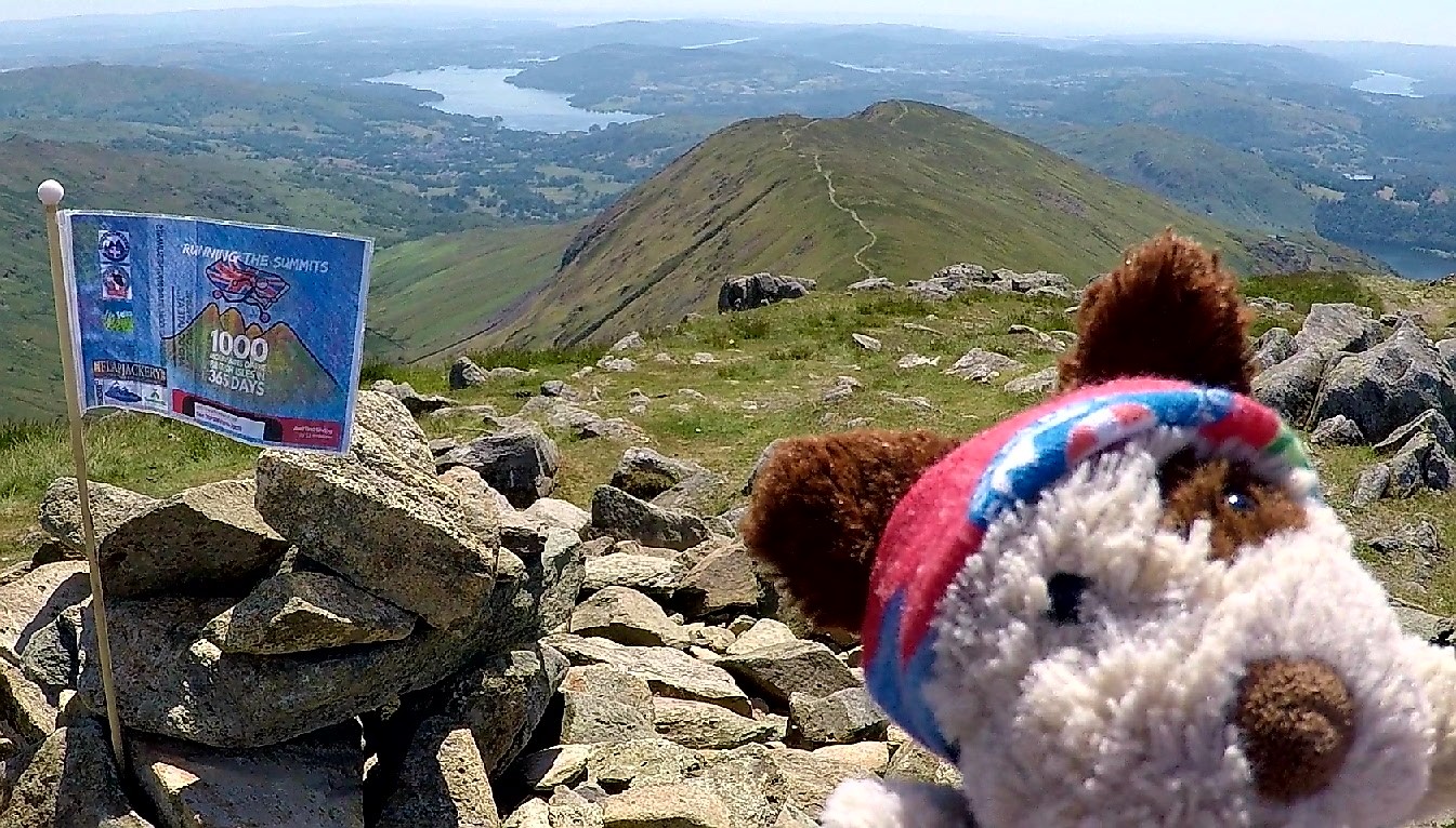
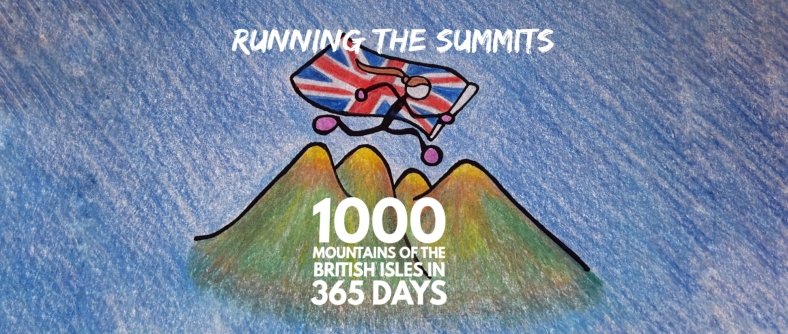
Follow regular updates to my 1000 MOUNTAIN CHALLENGE here 👍🏃♀️⛰
There are currently close to 60 Search Dogs either on the callout list or coming through training and it costs £35,000 a year to train and keep all these volunteer dog teams in action.*
A £2 donation can keep a team in action today so please visit the
RunningtheSummits VirginMoneyGiving Page or the RunningtheSummits JustGiving Page
and become part of the family🐾🐶🐾
Thanks for reading and Happy Trails😊👣
Follow regular updates to my 1000 MOUNTAIN CHALLENGE here 👍🏃♀️⛰
Photos are my own or courtesy of MRSDA England and SARDA South Wales * figures from MRSDA England

 This short cut left me the wrong side of a ‘stream’ and I had a worrying sense of deja-vu when the cloud cleared enough to catch a glimpse of waterfalls coming off the hills and the loud roar of fast moving water. It was certainly bigger and trickier than I expected but after about ten minutes of scouting about for a good place to cross I picked a safe way over around the rocks, no more than knee deep and was back on a path!


 Reaching Corrig Mountain and Seahan the entire city of Dublin was laid out below and it was quite a contrast to look north over the vast developments of the city and its surrounds and then glance back over my shoulder to the miles and miles of wild, deserted moorlands through which I had passed.
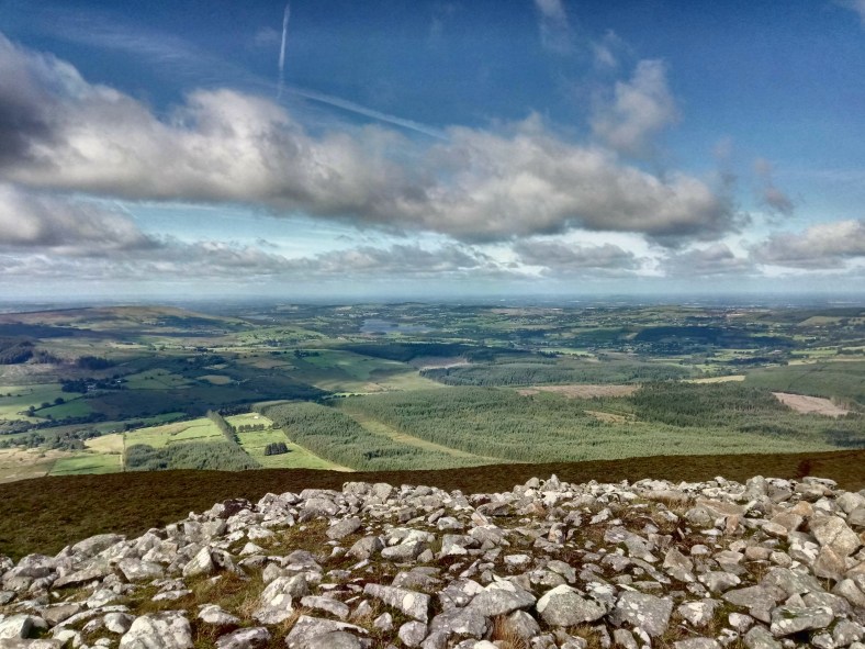


 Incoming shower…
 Lugnaquilla provided an easy and gentle summit despite looking uninviting from below!
 The welcoming cosy hearth of the Glenmalure Hostel…..and no sign of ‘Scary Mary’
 Down into the peaceful Glenmalure valley


 Standing on the ‘pointy bit’. CAUTION : always bear in mind, getting down is much tricker than getting up!
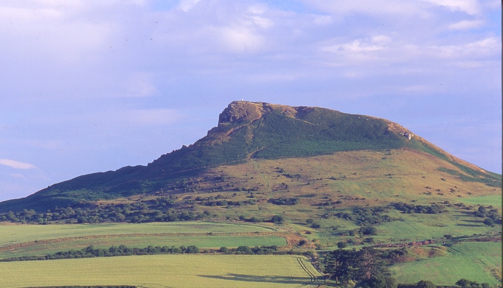
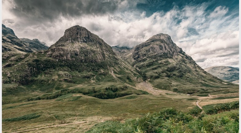 Some fairly ‘mountainy’ looking peaks in Britain
 Ingleborough – one of the highest peaks in Yorkshire and part of the popular Yorkshire 3 Peaks Challenge, an all round top day out followed by cake and a pint of tea at the Pen y Ghent Cafe in Horton-in-Ribblesdale – just get round before they close!
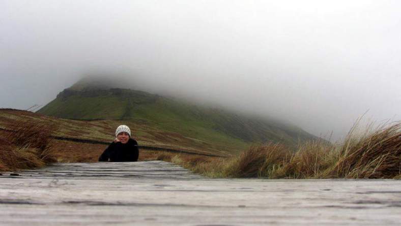 Pen y Ghent lost in the clag – a Hewitt, Nuttall AND Marilyn all in one!
 They might not be mountains but Chrome and Parkhouse Hills are as pointy as a witches hat.
 The view from Haystacks – Alfred Wainwright’s favourite fell
 Kirk Fell looking non too inviting…
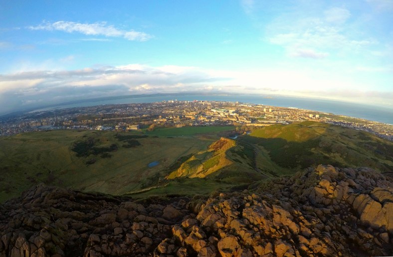 Small but beautiful – Neither a mountain nor a mini mountain by the criteria but Arthur’s Seat surveying Edinburgh is a firm favourite running hill.
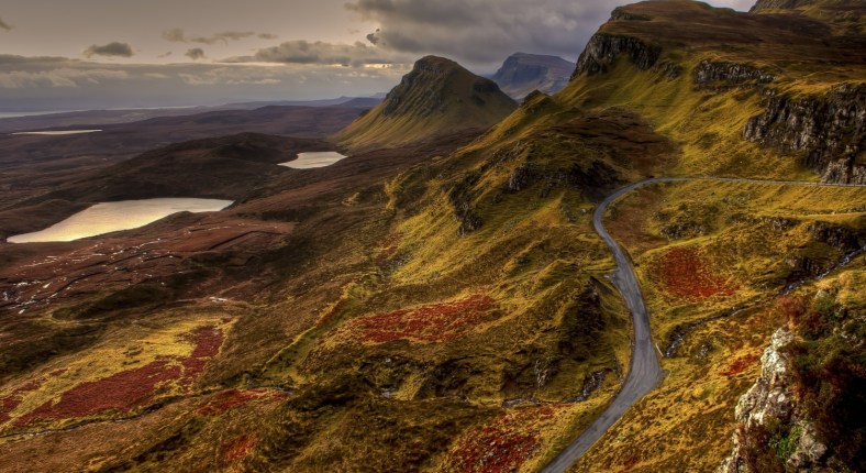
 As a break from the mind boggling lists and numbers – a gratuitous pic of Patch on Christmas morning brewing up on the summit of Stob Mhic Mhartuin ……………..now back to the numbers
 Just a glimpse of the poetic Ben Lomond overlooking the waters of Loch Lomond
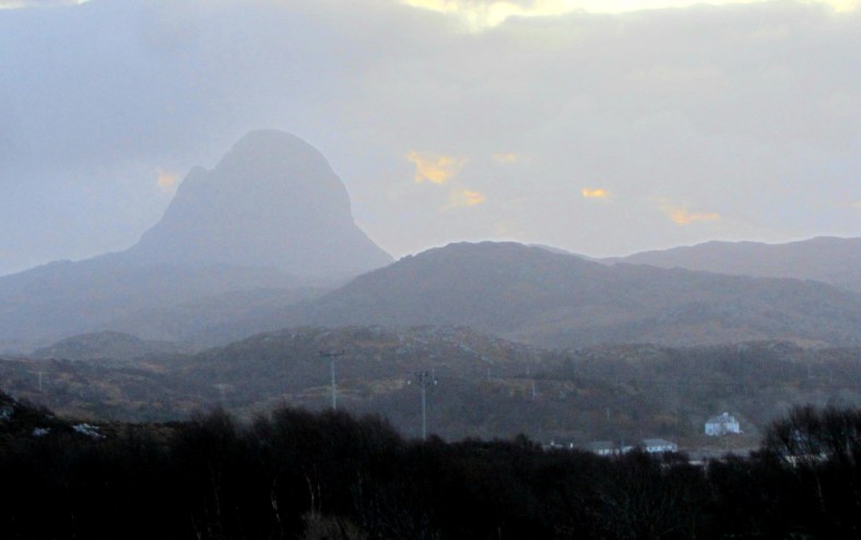 A drizzly day cannot detract from the unmistakably dramatic silhouette of Suilven
 The ‘Yorkshire Matterhorn’
 Overlooking the Miner’s Track from the PYG path on the flanks of Snowdon


 The majestic Suilven – photo credit James Barlow Photography